Roads shape property markets more quietly than metros do, and often more decisively. Two ring road projects touch the northern corridor, and neither...
Roads shape property markets more quietly than metros do, and often more decisively. Two ring road projects touch the northern corridor, and neither attracts the attention the metro receives. Understanding the STRR impact on North Bangalore real estate means looking at how a bypass changes travel patterns rather than at headline announcements. This guide covers where each alignment runs, what ring roads typically do to land value, and how much credit a buyer should give to a road that is not yet fully open.
The two alignments
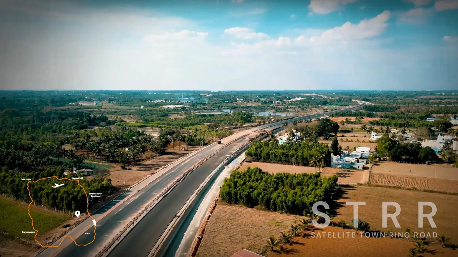
The Satellite Town Ring Road route passes roughly 8 km north of the Tharahunise belt and is under phased commissioning. Designed to link satellite towns around the city, it moves regional traffic without routing it through the centre.
Further away, the Peripheral Ring Road corridor runs to the south-west at about 14 km and remains under development. Together they represent two separate approaches to circulating traffic around rather than through Bangalore.
Scale distinguishes the two projects. One circles the wider region while the other sits closer to the city, and they serve different kinds of travel as a result.
Both projects have been years in development, which is typical for orbital roads. Land assembly across many landholdings takes time before construction can begin in earnest.
Regional traffic and local traffic behave quite differently. Orbital roads exist mainly to separate the two, which benefits residents on both sides.
What ring roads do to land value
Considering what ring roads do to land value, the mechanism is usually indirect. A bypass rarely makes a location fashionable on its own; it shortens travel times, which widens the set of jobs and services within reach.
Widening that set is what lifts demand. A household able to reach three employment belts rather than one has more reason to buy, and more protection if a single employer relocates.
Industrial and logistics demand tends to follow first, with housing behind it. That sequence matters, because the early beneficiaries of a ring road are often not residential at all.
Assessing the STRR impact on North Bangalore real estate therefore means asking which trips become easier, and for whom, rather than assuming a uniform lift across the belt.
Growth follows access rather than announcements. A stretch that opens changes behaviour immediately, whereas a stretch that is planned changes only expectations.
How they fit the existing network
The corridor already has substantial arterial capacity. NH-44 runs directly past the belt, the Outer Ring Road sits about 18 km away at Hebbal, and the airport lies roughly 14 km north.
Adding two orbital routes to that arterial road network gives residents alternatives rather than a single dependency. Where one route congests, another exists, which is precisely what older parts of the city often lack.
Orbital routes also reshape freight movement. Lorries diverted around a city change the character of the roads they leave, usually for the better.
Toll arrangements can affect how heavily a route is used. Where charges apply, some traffic continues on older roads regardless of the faster alternative.
Construction phases also affect adjacent land differently. A stretch under active works can be disruptive for a period before it becomes an asset.
Route | Distance | Status |
|---|---|---|
NH-44 / Bellary Road | Adjacent | Operational |
Satellite Town Ring Road | ~8 km north | Under phased commissioning |
Peripheral Ring Road corridor | ~14 km south-west | Under development |
Outer Ring Road | ~18 km at Hebbal | Operational |
Hebbal Flyover | ~16 km | Operational |
What is operational today
Only part of this network is in service. NH-44, the Outer Ring Road and the Hebbal flyover all function now, and they carry the trips residents make daily.
The two ring road projects sit in different stages of delivery. Phased commissioning means sections may open at different times, so benefits arrive gradually rather than at a single opening date.
Partial opening is normal for projects of this length. Sections carry traffic while others remain closed, so benefits accumulate rather than arriving at once.
Stretches already carrying traffic offer the clearest evidence. Where a stretch is open, its effect on local travel can be observed rather than predicted.
How a buyer should weigh them
Give full credit to what is open and partial credit to what is not. An address that works on the existing network today stands on firmer ground than one relying on alignments still under construction.
Ring roads also carry a caveat worth naming. Proximity to a major orbital route brings traffic as well as access, and homes immediately abutting such a road can face noise that homes a few kilometres away do not.
At 8 km and 14 km respectively, neither alignment sits on the doorstep of this belt. Residents would gain the connectivity without the immediate roadside effects, which is generally the better position.
Look at what a road connects rather than only where it runs. An orbital route linking employment belts does more for a resident than one linking empty land.
Land near a new orbital route often changes use before it changes hands. Warehousing and light industry usually arrive before housing does.
Freight movement usually shifts first once an orbital route opens, which changes traffic composition on the older roads it relieves.
The longer view
Over a horizon of several years, the combination matters more than any single road. An expressway, two orbital routes and a metro alignment together describe a corridor being built for growth rather than patched for congestion.
Delivery remains the variable. Our team can talk through which elements are operational, which are progressing and how each might affect a specific address you are considering.
Mapping which routes serve a particular address, and which remain pending, keeps the picture grounded in what exists today.
Weigh what is operational today most heavily. That principle applies to every corridor, not only this one.
Ask which sections are open and which are pending before treating any orbital route as a benefit in hand.
Karnataka RERA Registration No. PRM/KA/RERA/1251/309/PR/090926/008925. To check availability, current pricing or to arrange a site visit, get in touch with our team.
FAQs
Where does the STRR run?
The Satellite Town Ring Road passes roughly 8 km north of the Tharahunise belt and is under phased commissioning.What about the Peripheral Ring Road?
That corridor lies about 14 km to the south-west and remains under development.Do ring roads raise property values?
Usually indirectly, by shortening travel times and widening the set of jobs and services within reach.Which roads work today?
NH-44, the Outer Ring Road at about 18 km and the Hebbal flyover at about 16 km are all operational.Is being close to a ring road a drawback?
Immediately abutting one can bring noise and traffic. A few kilometres away generally gives access without those effects.When will the STRR fully open?
It is being commissioned in phases, so sections open at different times. Check current status with the relevant authority.How far is the Outer Ring Road?
About 18 km, reached at Hebbal, taking 30 to 38 minutes off-peak.Do these roads help airport access?
The airport run uses NH-44 directly at about 14 km, so ring roads mainly add alternatives for other trips.
Related Articles

Embassy South Reserve Review: An Honest Assessment
Nobody lives here yet, and possession is set for 2032, so any Embassy South Reserve review has to work from documents rather than experience. That...

The Embassy South Reserve Booking Process, Step by Step
Buying a home is a sequence of decisions rather than a single one, and knowing the order keeps control where it belongs. Expression-of-interest holders...

Embassy South Reserve Cost Sheet: Every Line Explained
Rs 1.92 Cr buys a 2 BHK here, or so the headline says. What leaves your account is another figure entirely, and the gap between the two runs to lakhs...

Checking the Embassy South Reserve RERA Registration
A registration number on a brochure proves very little by itself. Behind it sits a filing on a public portal, and that filing is what actually protects...